

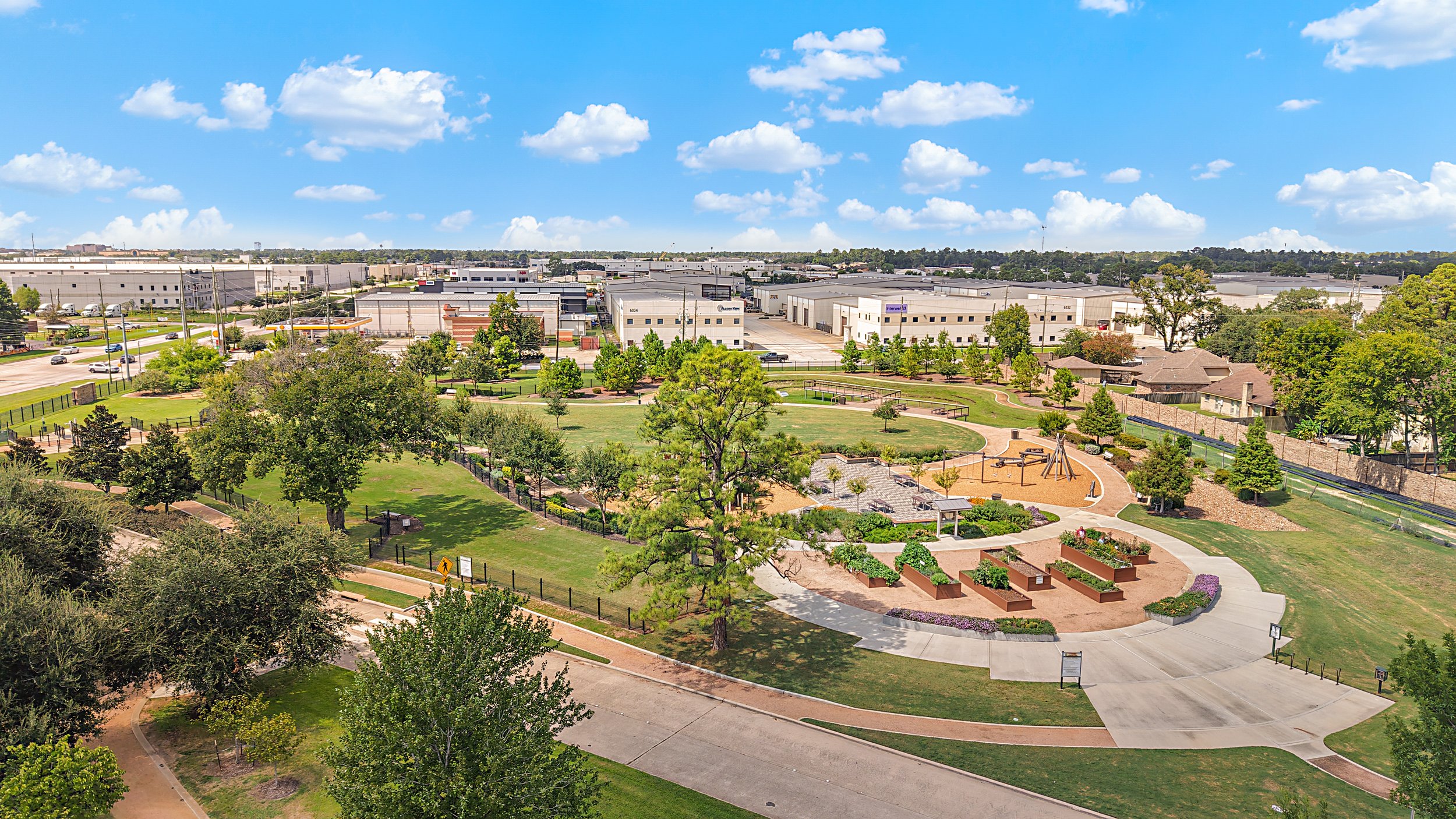
Professional Drone Services in Houston, tx
Aerial photography, construction progress documentation, drone mapping, and visual inspections for businesses across Greater Houston.
FAA PART 107 CERTIFIED |
FAA PART 107 CERTIFIED |
Drone Services built for your project
Drone imagery and aerial data tailored to construction, real estate, inspections, and commercial projects.
-
Aerial photos and videos documenting construction progress, project milestones, and site conditions.
-
Aerial mapping, orthomosaic imagery, and 3D models for land development and construction projects, where supported by the equipment and workflow.
-
High-resolution aerial imagery of roofs, buildings, and other assets for visual review.
-
Professional aerial imagery for commercial properties, real estate, land, and business marketing.
FAA Part 107 Certified
Flights are conducted by an FAA Part 107 certified remote pilot.
Professional Equipment
High-quality equipment helps us capture detailed aerial imagery, video, and project data.
Construction experience
We understand jobsites, project progress, and the documentation contractors and project teams need.
Professional Deliverables
Receive organized, high-quality imagery and data ready to share, present, or use for your project.
Why Choose MAV?
We combine professional aerial technology with real-world construction and project experience to deliver imagery and data that clients can actually use.
More than just a drone.
HOW IT WORKS
01
TELL US WHAT YOU NEED
Tell us about your project, location, and what you need captured.
02
WE CAPTURE
Our FAA Part 107 certified pilot captures the aerial imagery or data your project requires.
03
RECEIVE YOUR RESULTS
We deliver professional, organized imagery and project deliverables ready to use.
Ready to see your project from a different perspective?
Fill the fields, hit send, and watch momentum detonate. We respond fast, cut through noise, and engineer results that steamroll obstacles.